La Niña and El Niño: Understanding Australian Weather and Rainfall
Unseasonal Weather Patterns in the Southern Hemisphere
Springtime across eastern Australia typically brings lengthening daylight hours, clearing skies, and steadily climbing temperatures. Occasionally, however, regional weather patterns deviate sharply from seasonal expectations, delivering uncharacteristic stretches of gray skies, persistent downpours, and unseasonal chills requiring domestic heating.
Meteorological agencies attribute these unusual climatic fluctuations to recurring atmospheric and oceanic oscillations across the tropical Pacific Ocean. Even after the official conclusion of an active oceanic phase, lingering atmospheric patterns can sustain elevated rainfall along Australia’s eastern seaboard.
The Dynamics of La Niña and El Niño
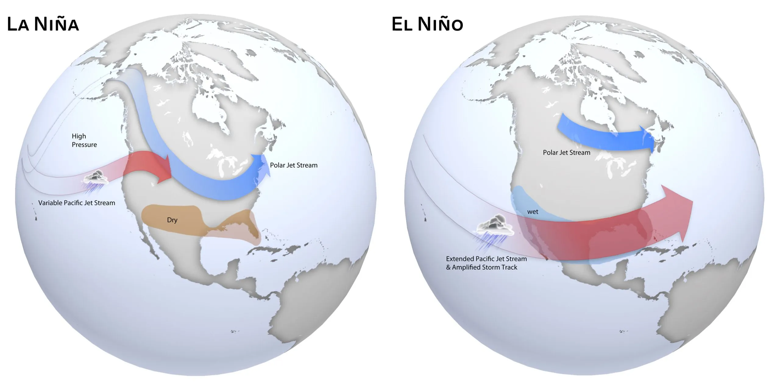
The climate phenomena known as La Niña and El Niño constitute opposite phases of the El Niño–Southern Oscillation (ENSO), a vast coupled ocean-atmosphere system operating across the equatorial Pacific. In Spanish, “El Niño” translates to “the boy child” (originally referencing the Christ child due to its December onset off South America), while “La Niña” means “the girl child.”
These two phases represent opposite sides of the same meteorological coin, oscillating irregularly every two to seven years and typically persisting for nine to twelve months before returning to ENSO-neutral conditions.
The Southern Oscillation Index and Atmospheric Mechanics
Meteorologists quantify ENSO strength using the Southern Oscillation Index (SOI), which measures atmospheric surface pressure differences between Tahiti in the central Pacific and Darwin in northern Australia:
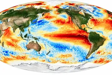
- El Niño Phase: Trade winds weaken or reverse direction, allowing a vast pool of warm equatorial surface water to shift eastward toward South America. As atmospheric convection follows the warm water, rainfall surges along the Pacific coast of the Americas, while Australia experiences reduced cloud cover, heightened drought risk, and severe bushfire conditions.
- La Niña Phase: Stronger-than-normal easterly trade winds push warm surface waters westward toward northern and eastern Australia. This accumulation of warm tropical ocean water intensifies atmospheric evaporation and convection, generating cloud bands, prolonged heavy rainfall, and severe river basin flooding across eastern Australia.
Oceanic Transitions and Forecasting Complexities
Transitioning out of an active La Niña phase often involves prolonged atmospheric decoupling. Even as sub-surface sea temperatures begin normalizing toward neutral baselines, atmospheric circulation patterns frequently lag behind, sustaining cloud development and periodic unseasonal rainstorms across the continent.
Understanding the interplay between La Niña and El Niño remains vital for agricultural planning, emergency flood mitigation, water reservoir management, and climate adaptation across the entire Pacific Basin.